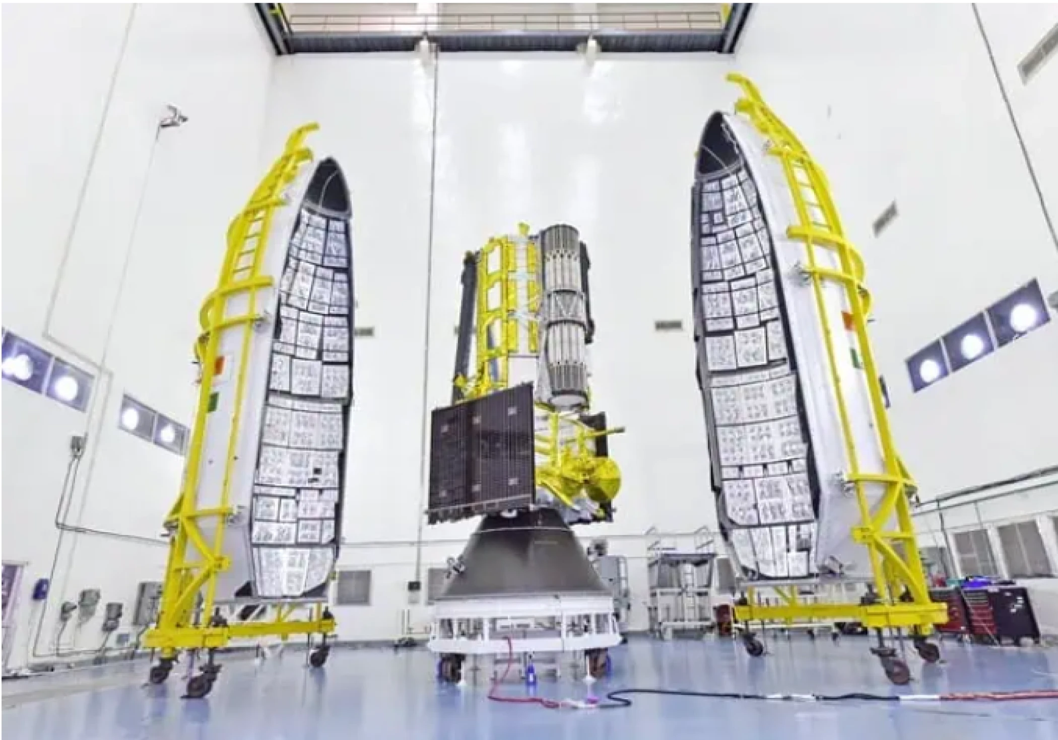
India and the US to jointly launch NISAR satellite on July 30, marking a milestone in global Earth observation and climate monitoring.
The Indian Space Research Organisation (ISRO) and the National Aeronautics and Space Administration (NASA) are set to launch their jointly developed satellite — NISAR (NASA-ISRO Synthetic Aperture Radar) — on July 30, 2025. This collaborative mission will be a major leap in satellite-based Earth observation, capable of capturing highly accurate radar images of the planet's surface to track climate change, land use patterns, glacier retreat, and natural disasters like earthquakes and floods.
NISAR will be launched aboard an ISRO GSLV rocket from the Satish Dhawan Space Centre in Sriharikota. Weighing over 2,800 kg, NISAR is the first radar imaging satellite to use dual frequencies — L-band and S-band — allowing it to penetrate clouds and vegetation and monitor the Earth’s surface with unprecedented accuracy. It will scan the entire globe every 12 days, making it one of the most consistent global monitoring missions.
Experts believe NISAR’s data will be instrumental in understanding and managing the effects of climate change, including ice-sheet collapse in polar regions, deforestation trends, and sea-level rise. The project is a $1.5 billion partnership between ISRO and NASA, symbolizing strong space diplomacy and scientific collaboration between the two nations.
As the world faces increasingly complex environmental challenges, the NISAR mission is poised to become a cornerstone in global efforts to mitigate and adapt to climate impacts. Its successful deployment and data output are expected to benefit policymakers, scientists, and disaster response agencies worldwide.


